
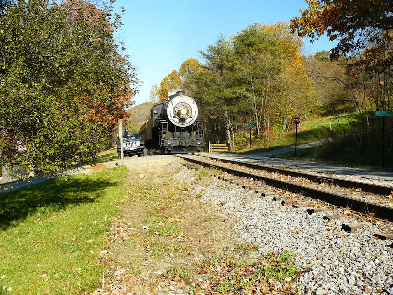
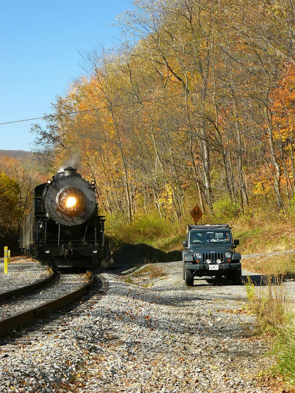
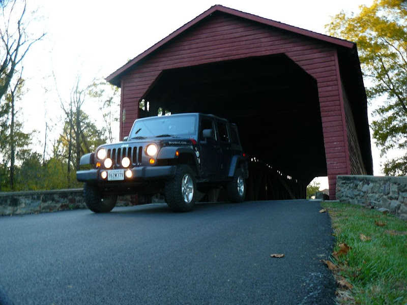
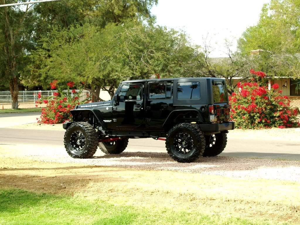
Jeeps in beautiful places


 [/quote]
 [/IMG]
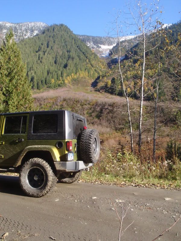

 11-19-2008, 01:23 PM
#489
JK Newbie

Join Date: Oct 2007
Location: Colorado Springs, CO
Posts: 95
Likes: 0
Received 0 Likes
on
0 Posts

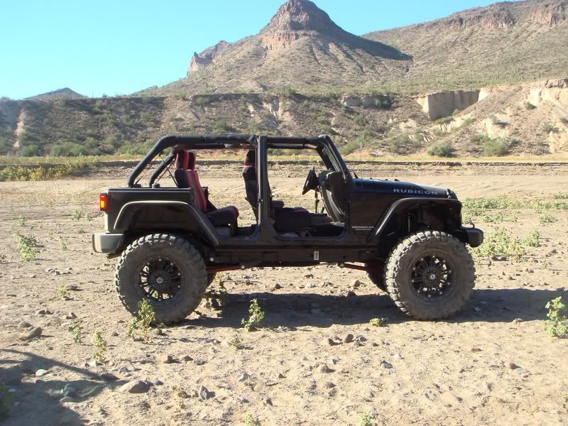
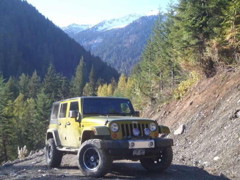
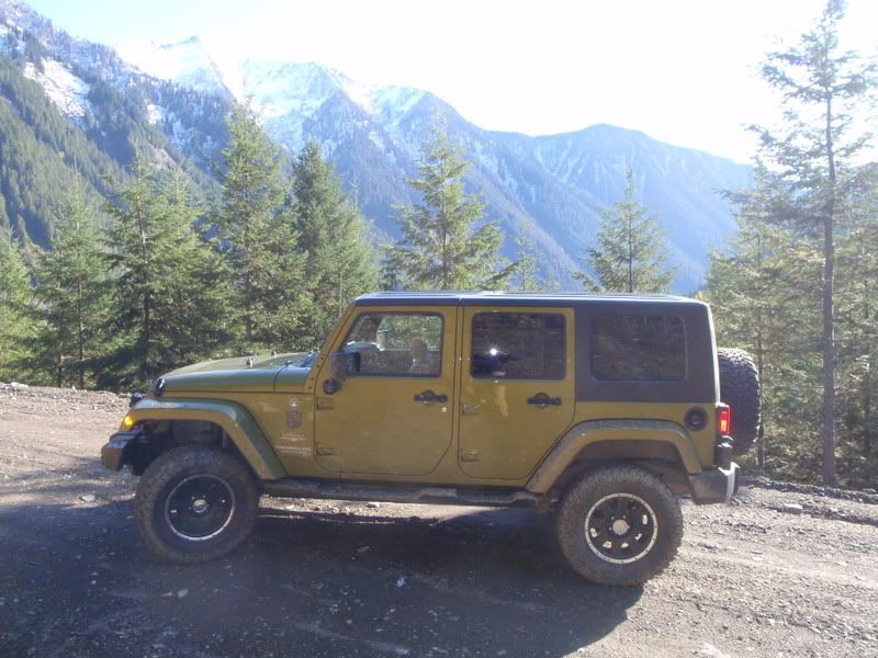
My apologies for the pic quality - faulty camera.
This shot is technically in Dead Horse Point State Park outside of Moab on a trail called South Fork Road. That edge just behind my JK is a cliff that drops about 500 feet to the Colorado River. Directly behind me is the main overlook at Dead Horse Point SP (about 1,000 higher in elevation). The La Sal mountains are far away in the background.

Here is the trail from the overlook at Dead Horse Point SP. I took this pic two days before we actually drove the trail. At the time we were wondering how someone could get to that trail. Guess we found out...
For those of you who have been to Moab, head west out of town on Hwy 191, cross the Colorado River bridge (like you're going to Arches) and take the frist left, which is Hwy 279. 279 goes to a "town" called Potash, which is really just a big industrial area, and turns to dirt. Just keep on a drivin'. The wheelin' isn't anything to get excited about - at least not any of what we did...basically dirt roads with a few small stream crossings.
This road eventually connects to White Rim Trail in Canyonlands NP a couple of miles from the spot where I snapped this pic. I've heard that the wheeling is alot more interesting once you connect to White Rim and start making the ~1,200ft elevation gain to connect with the main road through Canyonlands.
Last edited by Ridebreck; 11-19-2008 at 01:31 PM.
